Google Maps Platform
Documentation
All the information you need to bring the real world to your web and mobile apps with
Google Maps Platform SDKs and APIs for Maps, Routes, and Places.
SDKs and APIs
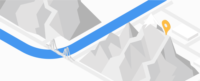
Maps
Maps SDKs
Bring the real world to your users with dynamic maps for the web and mobile.
Static maps
Display a static map on your website.
Street view imagery
Add 360° Street View imagery to your apps.
Elevation
Get the elevation of one or a series of locations.
Aerial View
Create and display Aerial View videos rendered using Google's 3D geospatial imagery.
Map Tiles
Provides high-resolution Photorealistic 3D Tiles, 2D Tiles, and Street View Tiles.
Maps Datasets (Pre-GA)
Upload your data to a dataset for use in a Google Maps Platform app.
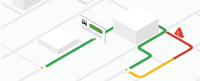
Routes
Routes
Performance optimized version of the Directions API and Distance Matrix API, with additional features.
Roads
Identify nearby roads using coordinates.
Directions
Provide directions for multiple transportation modes, featuring real-time traffic information.
Distance Matrix
Calculate travel times and distances for multiple origins and destinations.

Places
Places API & SDKs
Integrate Google’s Place details, search, and autocomplete into your apps.
Geocoding
Convert coordinates into addresses and addresses into coordinates.
Geolocation
Get an approximate device location using nearby cell towers and WiFi nodes.
Address Validation
Validate an address and its components.
Time zones
Determine the time zone for a set of coordinates.
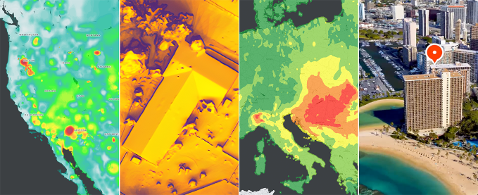
Environment
Solar
Look up the rooftop solar energy potential for specific buildings.
Air Quality
Retrieve air quality indexes, pollutants, and health recommendations for specific locations.
Pollen
Get pollen information for specific locations, including types, plants, and indexes.
Get started

-
Getting started guide
Create an account, generate an API key, enable APIs and SDKs, and start building.
> Read the guide and get started fast -
Build your first map
New to Google Maps Platform? Build your first map with a marker.
> Try it for JavaScript, Android, and iOS -
Search for Places
Learn how to query Google Maps Platform's comprehensive database of rich place data.
> Try it with the Maps JavaScript API and Places API -
Get directions
Get your users where they're going fast, with accurate, real-time directions.
> Try it with the Maps JavaScript API and Directions API
Popular docs
Marker clustering
Using TypeScript
Styling your maps
Using info windows
Adding Place Autocomplete
Geocoding & reverse geocoding
Getting directions
Getting Place details
Getting started - Distance Matrix
Industry solutions
Transportation and Logistics
Asset tracking
Help & Support
Stack Overflow
Get help. Give Help. Build Maps karma.

Issue Tracker
Report a bug or open a feature request.

Platform status
Find out about platform incidents and outages.

Support
Get help from the Google Maps Platform team.